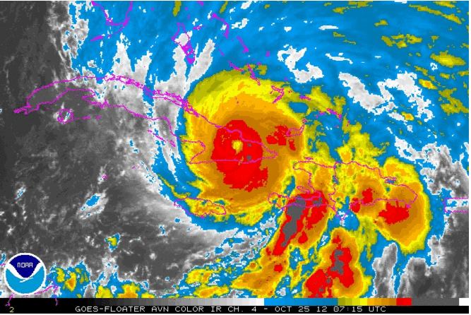
The National Oceanic and Atmospheric Administration (NOAA) has released its long-range forecast for the upcoming hurricane season, which officially starts June first. The prediction: an above-average year, with 13 to as many as 20 “named storms” (a term that includes tropical storms as well as hurricanes), and a possible 7 to 11 hurricanes with winds of 74 mph or higher, and 3 to 6 major hurricanes (Category 3, 4, or 5 storms with winds of 111 mph and higher).
Three climate factors that strongly control Atlantic hurricane activity are expected to come together to produce an active or extremely active 2013 hurricane season,” NOAA said in a press release (“NOAA predicts active 2013 Atlantic hurricane season”): “A continuation of the atmospheric climate pattern, which includes a strong west African monsoon, that is responsible for the ongoing era of high activity for Atlantic hurricanes that began in 1995; warmer-than-average water temperatures in the tropical Atlantic Ocean and Caribbean Sea; and El Niño is not expected to develop and suppress hurricane formation.”
This year, NOAA says it’s bringing new technology on line that could improve forecasts of hurricane track and intensity when storms threaten. “In July, NOAA plans to bring online a new supercomputer that will run an upgraded Hurricane Weather Research and Forecasting (HWRF) model that provides significantly enhanced depiction of storm structure and improved storm intensity forecast guidance,” the agency says. “Also this year, Doppler radar data will be transmitted in real time from NOAA’s Hurricane Operations Center Hurricane Hunter aircraft. This will help forecasters better analyze rapidly evolving storm conditions, and these data could further improve the HWRF model forecasts by 10 to 15 percent.”