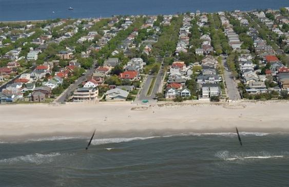
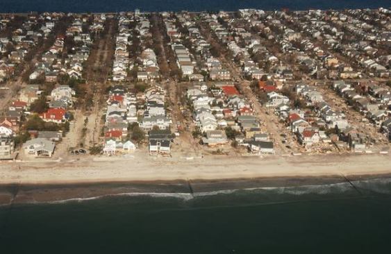
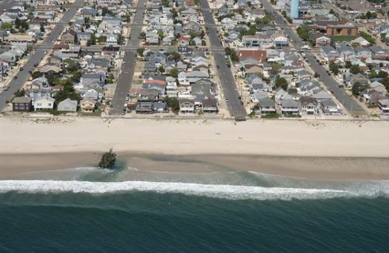
A view of Rockaway, N.Y., before
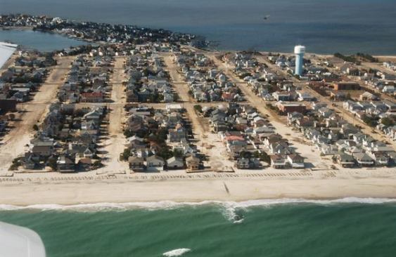
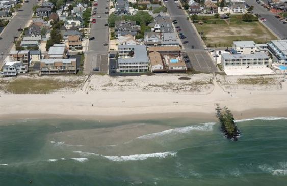
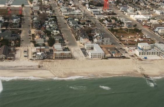
In terms of breadth, if not intensity, Hurricane Sandy was one of the largest Atlantic storms on record. And the storm’s damage extends along hundreds of miles of coastline, from North Carolina to Massachusetts. For anyone who would like to view the storm’s impacts from an aerial perspective, the National Oceanic and Atmospheric Administration (NOAA) has provided a web resource.
The NOAA’s St. Petersburg Coastal and Marine Science Center is tasked with surveying and mapping coastal regions and helping to assess and plan for climate and weather hazards, including the likelihood of rising sea levels in the coming century. Before Sandy hit, the center had already compiled a series of oblique photos of the Atlantic coast, taken from aircraft flying off shore. Now, the center has revisited the shorelines struck by Sandy, and posted an online “Hurricane Sandy” map that allows for before-and-after comparisons of the affected communities.
The map allows users to choose between satellite imagery and various drawn street-map views. It’s zoomable, but not searchable – so for viewers interested in a particular street location, it requires a sometimes frustrating process of hunting for familiar landmarks and comparing with Google’s regular online maps. But once you zero the NOAA map in on your target location, the views can be very revealing of Sandy’s effects. In the slideshow are a few examples, taken from Rockaway, N.Y., Lavalette, N.J., and Beach Haven, N.J.